Blog

The Secret to a Smooth LiDAR Project? Preparation
Most LiDAR projects don’t fail because of the technology. They fail because the team wasn’t prepared before the aircraft…
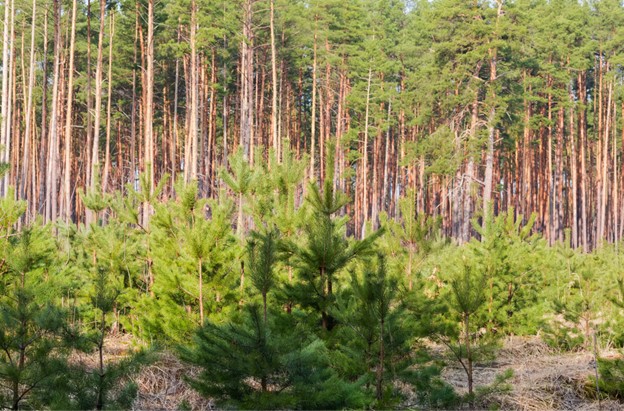
Rethinking Forestry in a Changing Climate
Rethinking Forestry in a Changing Climate Forests are carrying more weight today than ever before.They’re no longer viewed simply…
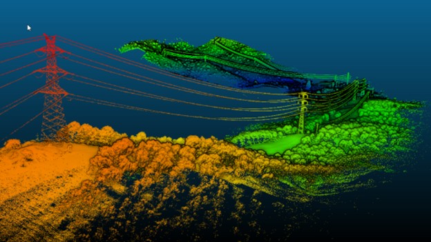
Corridor Mapping with LiDAR: Powerlines, Pipelines, and Roads
When you’re managing kilometres of powerlines, pipelines, or roads, clarity isn’t optional; it’s everything. A few centimetres of error…
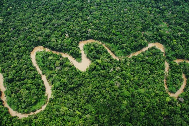
Seeing the Forest and the Future
Conservation wins or loses on clarity. In South and Central America, the details that decide outcomes are hidden under…
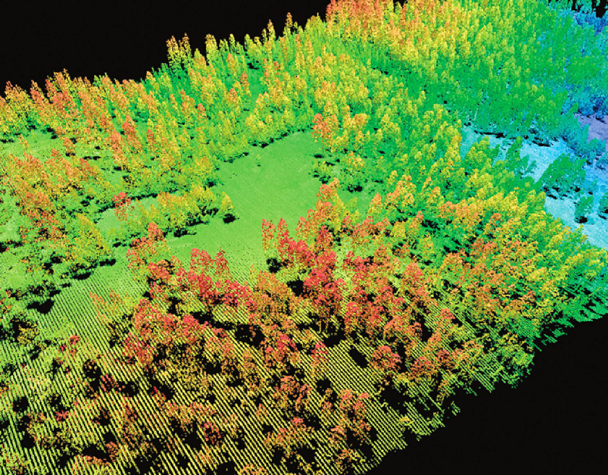
LiDAR in Forestry: Improving Accuracy in Timber Volume and Growth Modelling
If you manage forests, you already know how much small errors can cost. Miss a few cubic metres per…

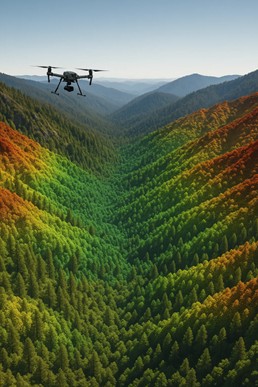
Aerial LiDAR vs. Drone LiDAR: What’s the Difference and When to Use Each?
In an age when decision cycles are compressed and margins are tight, choosing the wrong mapping method can cost…
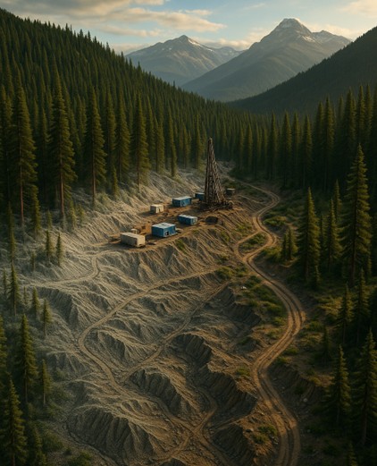
LiDAR: The Smartest Dollar You’ll Spend in Mineral Exploration
In mineral exploration, every dollar carries weight. Investors expect results. Timelines are tight. And every decision, from staking claims…
Why LiDAR Is the Gold Standard for Forestry Inventory Mapping
When it comes to forestry inventory, accuracy isn’t just a “nice to have.” It’s the difference between hitting your…
What Is LiDAR Mapping and Why It’s Essential for Resource Development
If you’re in charge of a development project, whether it’s forestry, mining, utilities, or municipal infrastructure, you already know…