DELIVERABLES
Once we have processed the LiDAR data, we can produce a large number of deliverables including the following:
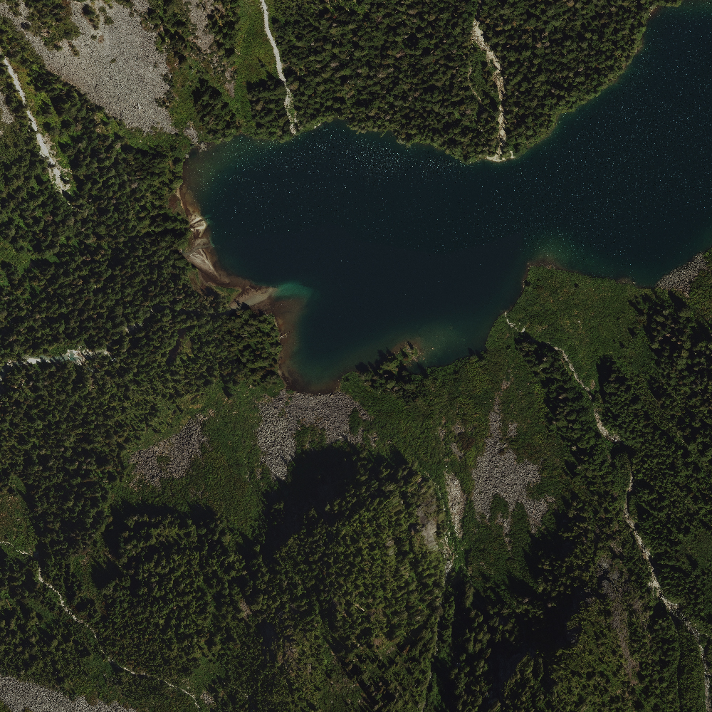
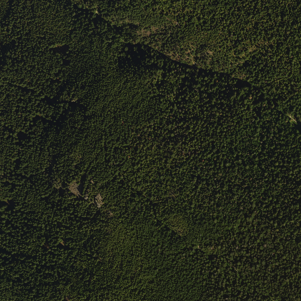
Orthophoto
An orthophoto is an aerial photograph geometrically corrected (“orthorectified”) such that the scale is uniform: the photo has the same lack of distortion as a map.
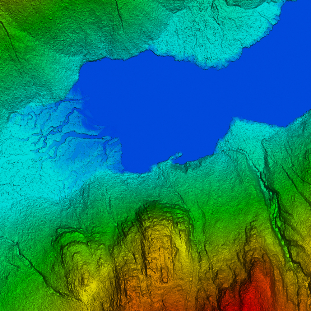
Bare Earth Model / Digital Elevation Model (DEM)
A map that shows the ground free of vegetation, buildings and any other non ground objects. It is based on an irregular triangulated TIN and exported as an even spaced grid.
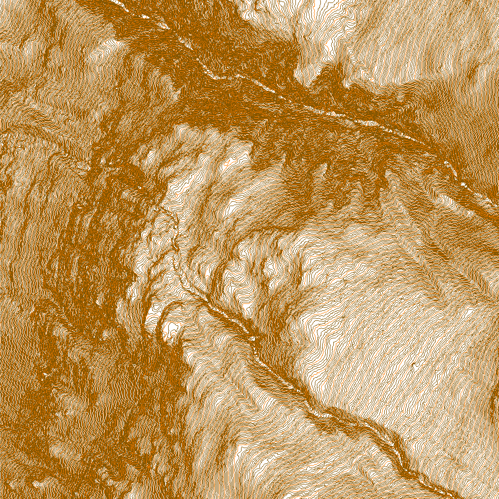
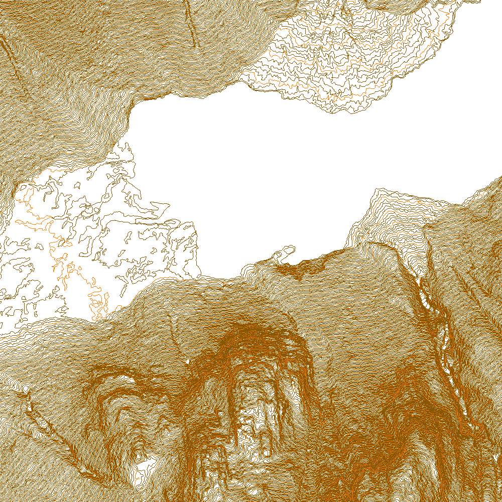
Contours
Lines of equal elevation are drawn (standard topographic map). Contours are produced from key points generated from the classified ground points. They can be useful for identifying changes in elevation.
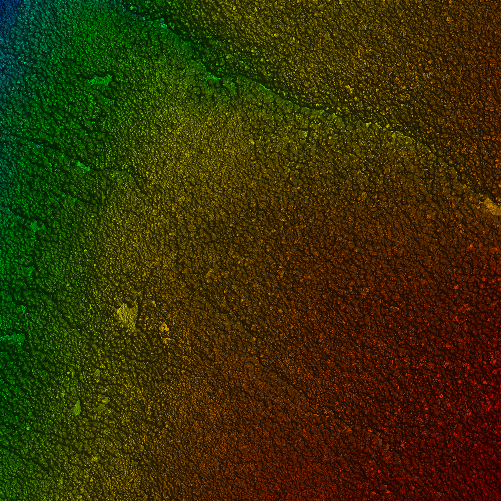
Digital Terrain Model / Digital Surface Model (DSM)
A model much like Bare Earth but the vegetation and man made features are not removed.
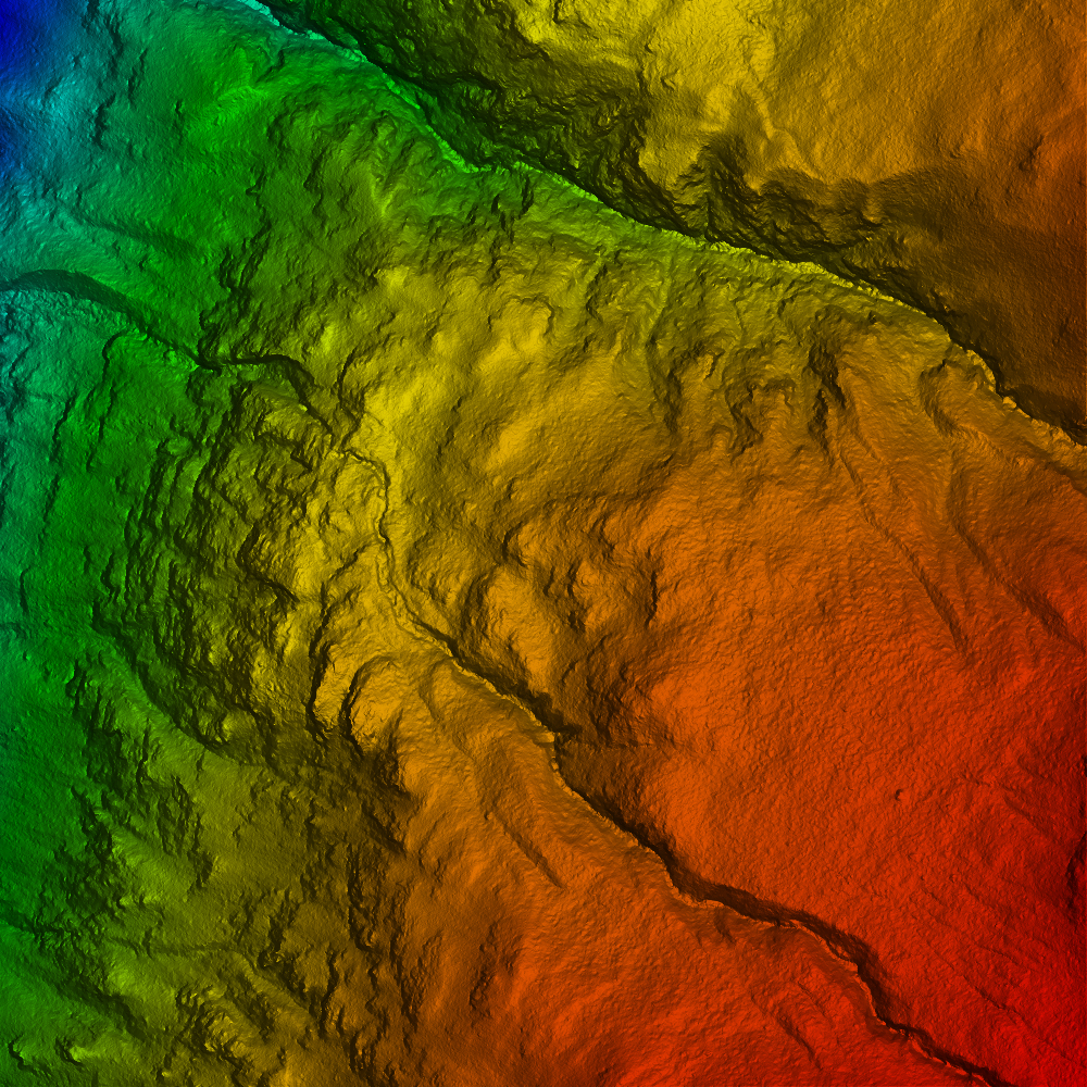
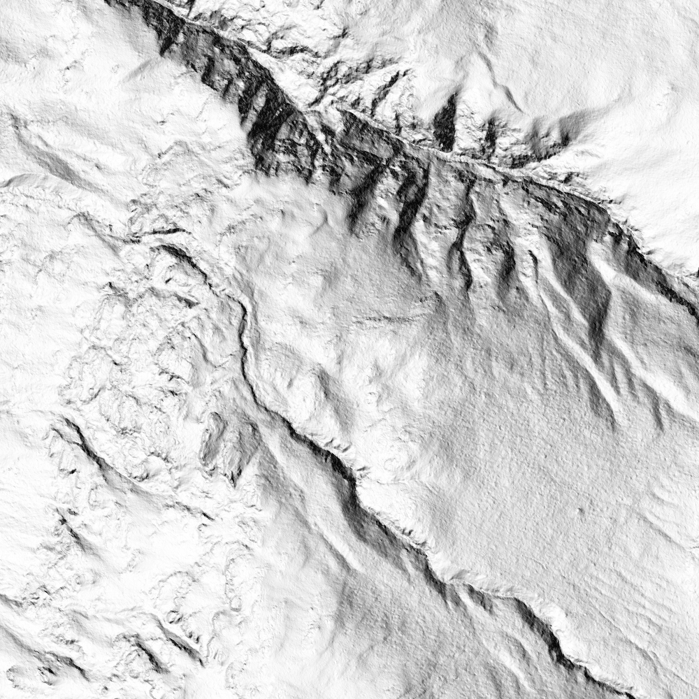
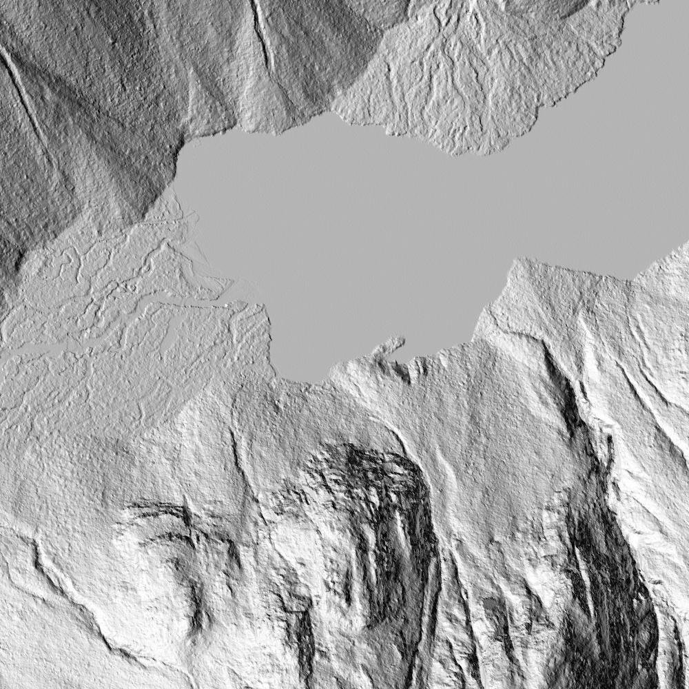
Hill shade Model
A model of the earth using an artificial “sun” that illuminates the digital topography.
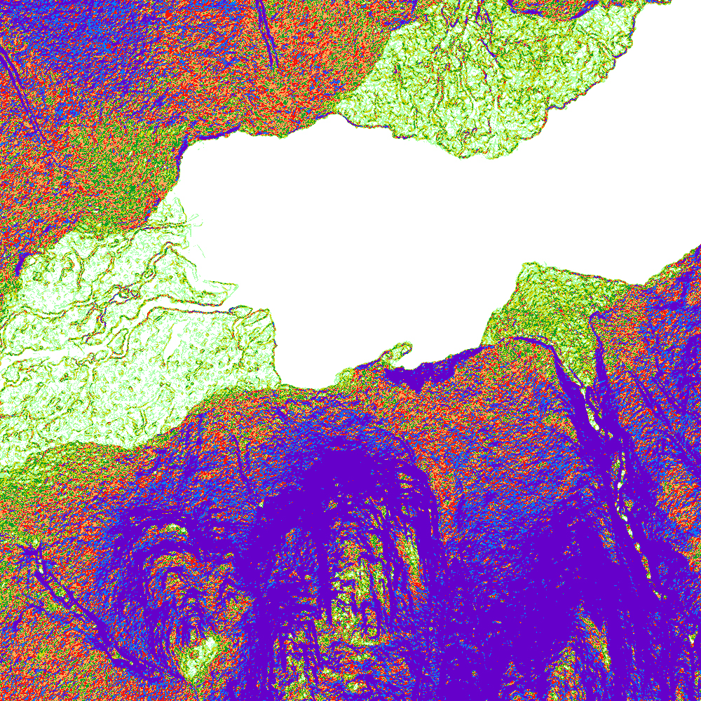
Slope model
A map that shows how steeply dipping the ground surface is.
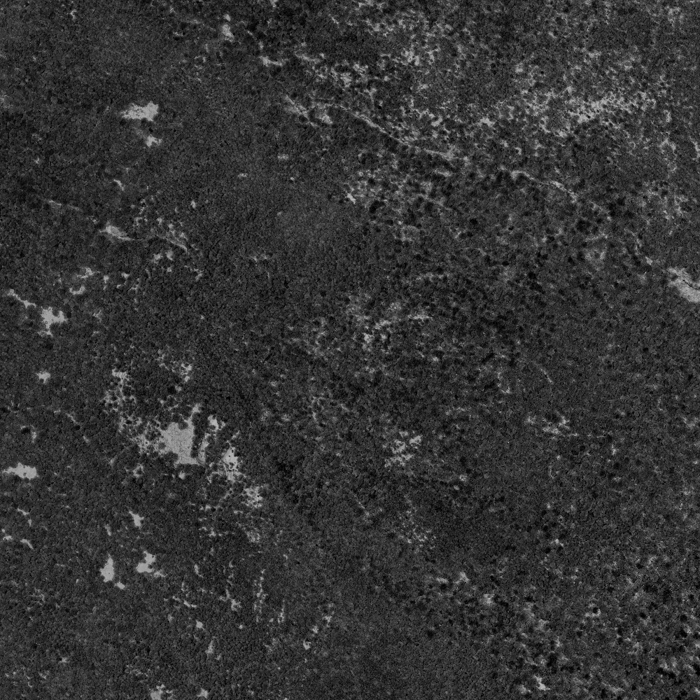
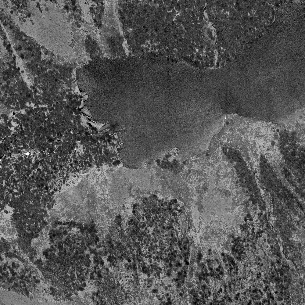
Intensity Imagery
The laser we use utilizes a near infra red (NIR) wavelength – the amount of light that is returned from the surface can be displayed. NIR light is strongly absorbed by water – as such it is excellent at showing wetlands vs well drained soils.
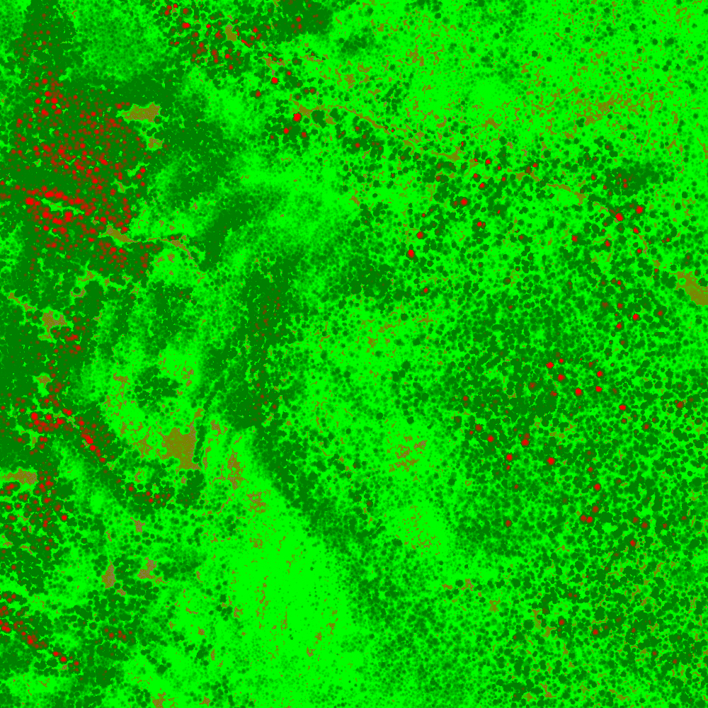
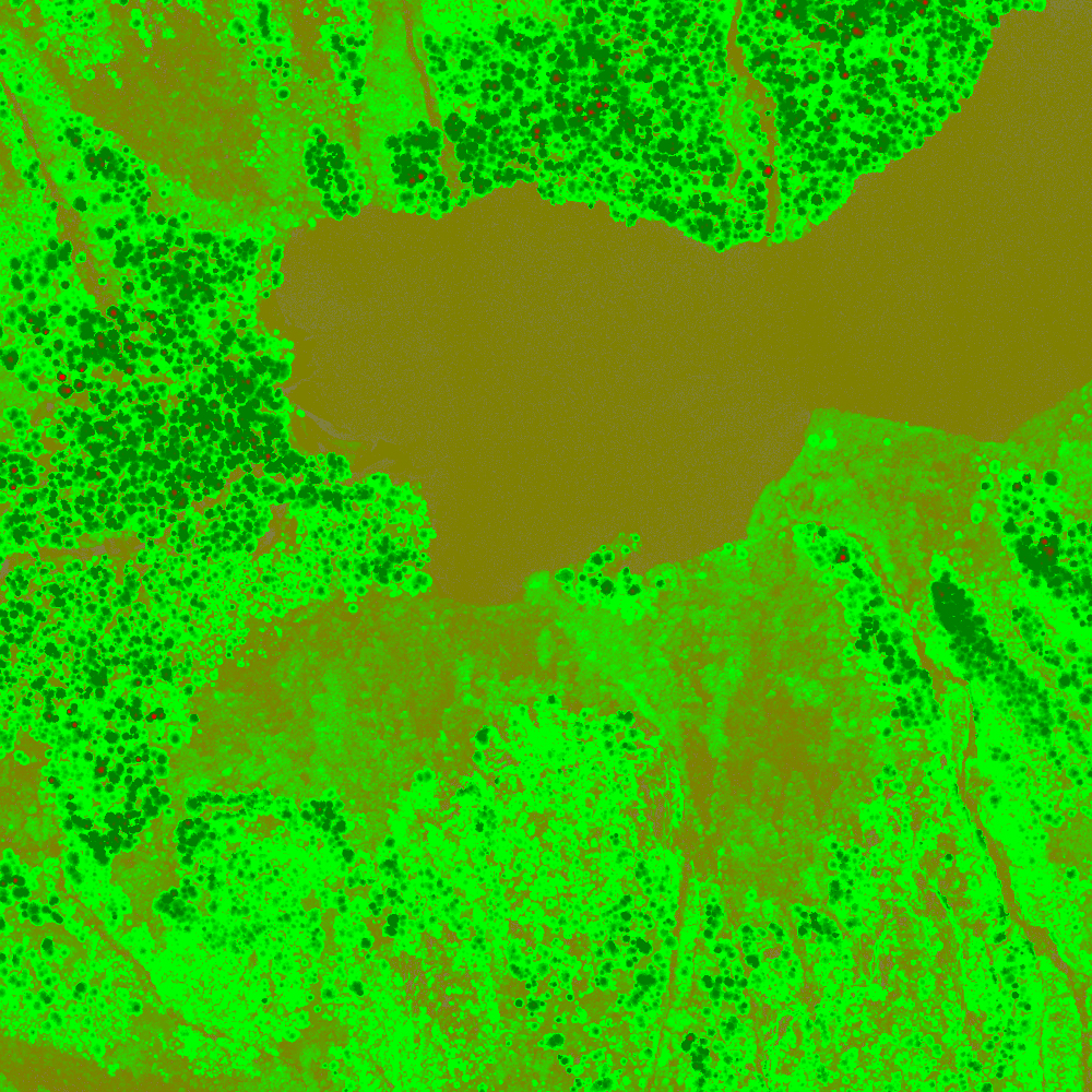
Canopy height model (CHM)
A map that can accurately determine the heights of trees and vegetation.
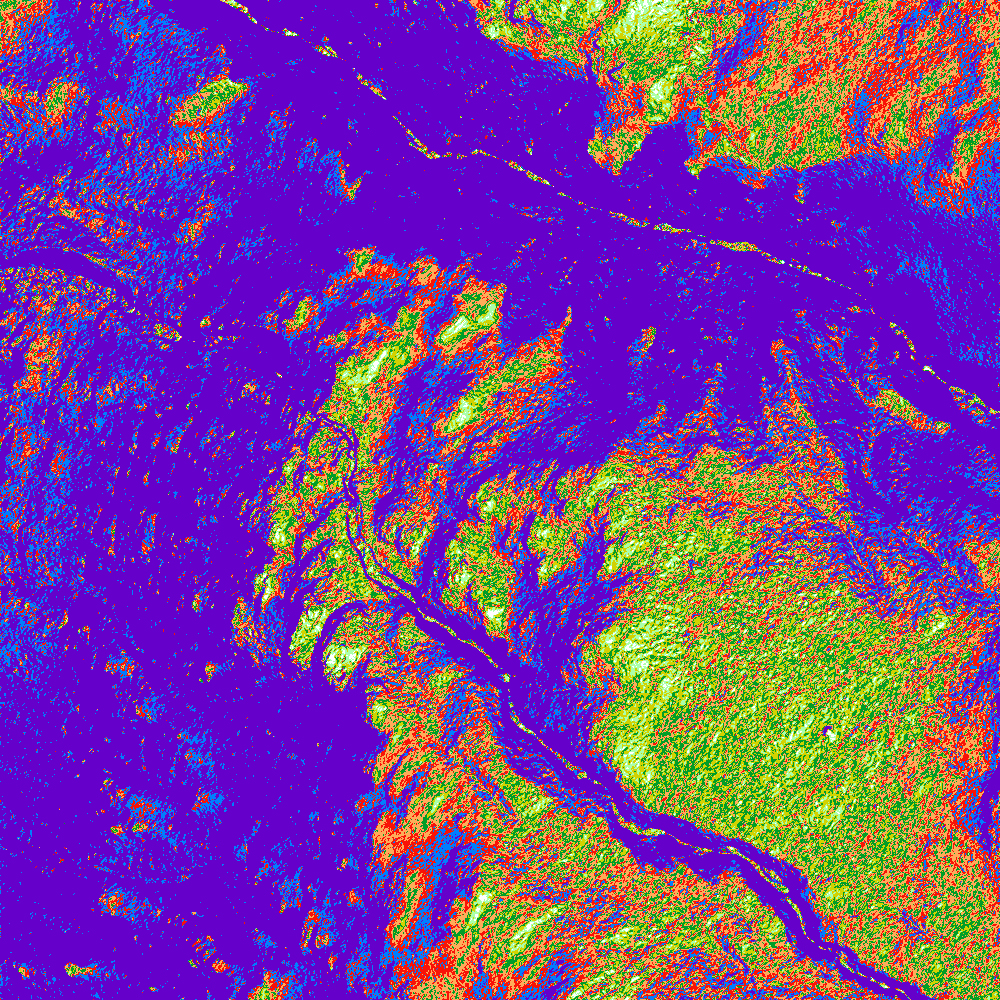
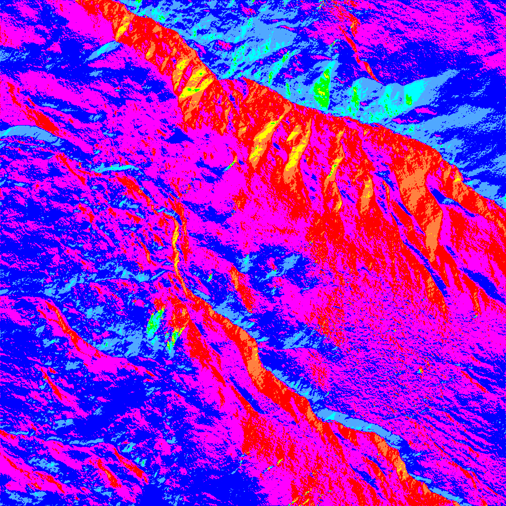
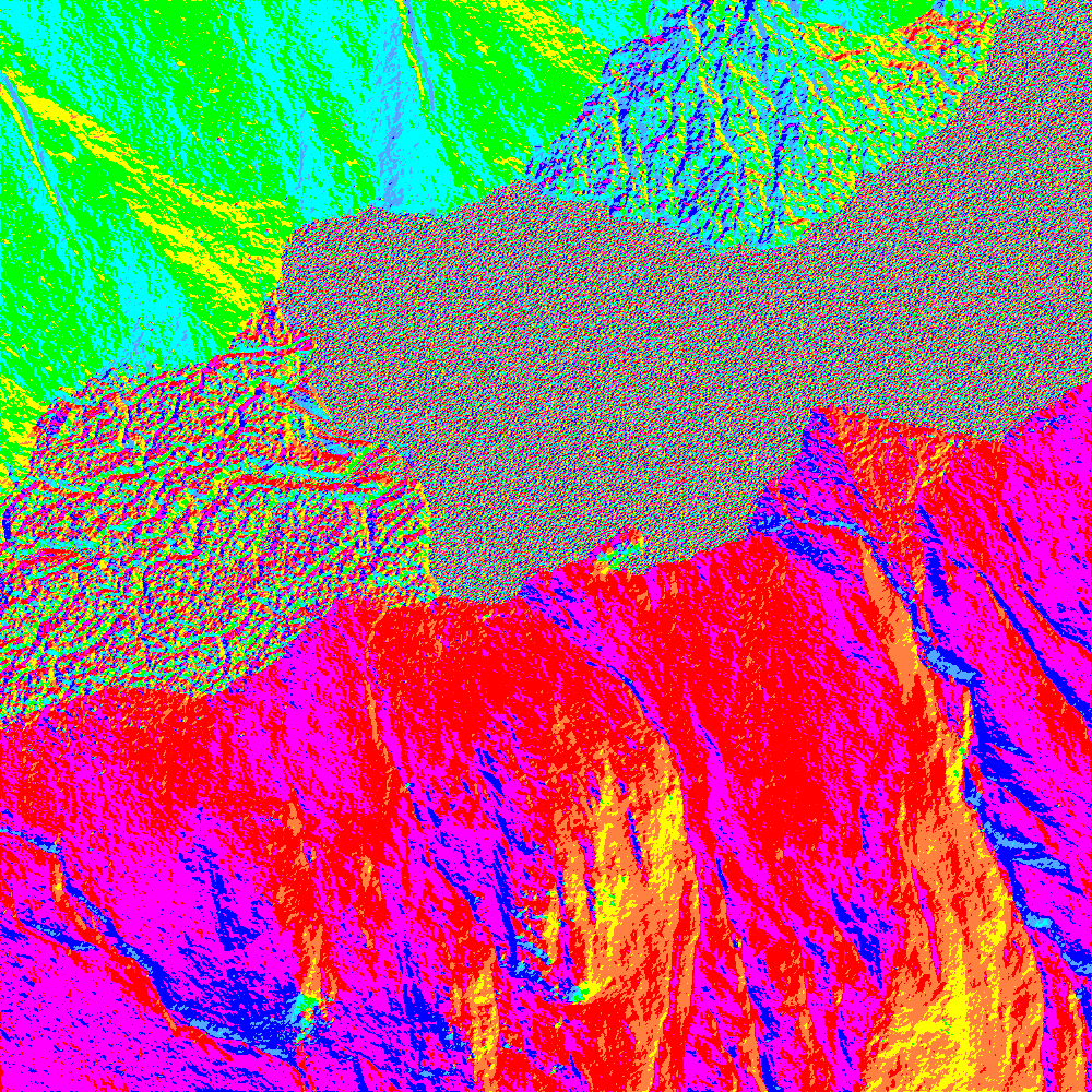
Slope direction model
A map that shows how steeply dipping the ground surface is.

