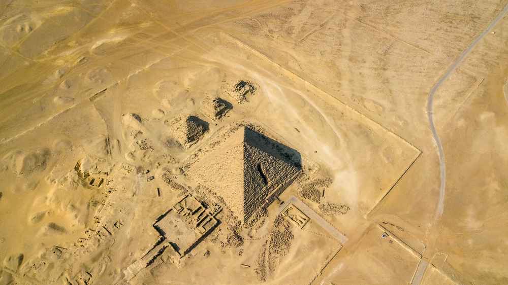
INDUSTRIES
Our expertise in LiDAR technology has been utilized in projects across North and South America. We cater to clients from diverse fields such as Natural Resources, Municipal and Engineering, Ecological, and Indigenous Peoples sectors.
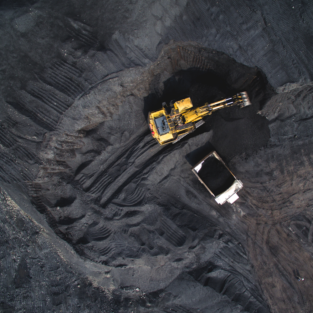
MINING
Accurate aerial topographical and Orthophoto maps are a basic necessity for exploration geologists and mining and environmental engineers in order to find an ore deposit and develop a mine.
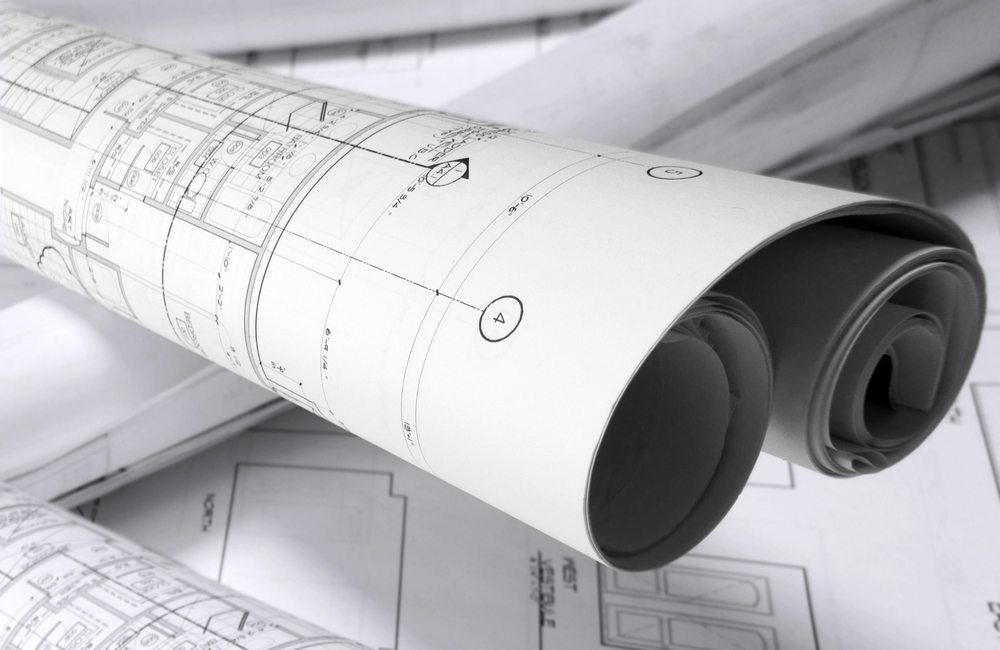
Engineering
Precision maps, created using digital Aerial Photography and/or LiDAR technology supply essential information for engineers.

Forestry
Digital Aerial Photography and/or LiDAR surveys provide precision mapping for the forestry industry.

Indigenous Peoples
Accurate mapping of Indigenous Peoples’ land can be the first step to financial growth and/or control over their environment and natural resources.
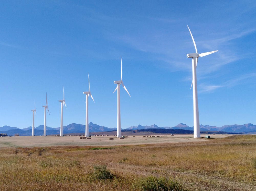
Energy
Precision maps created using digital Aerial Photography and/or LiDAR technology supply important reference information

