eNERGY
Precision maps created using digital Aerial Photography and/or LiDAR technology supply important reference information for planners, engineers, conservationists, habitat management and financial institutions providing capital.
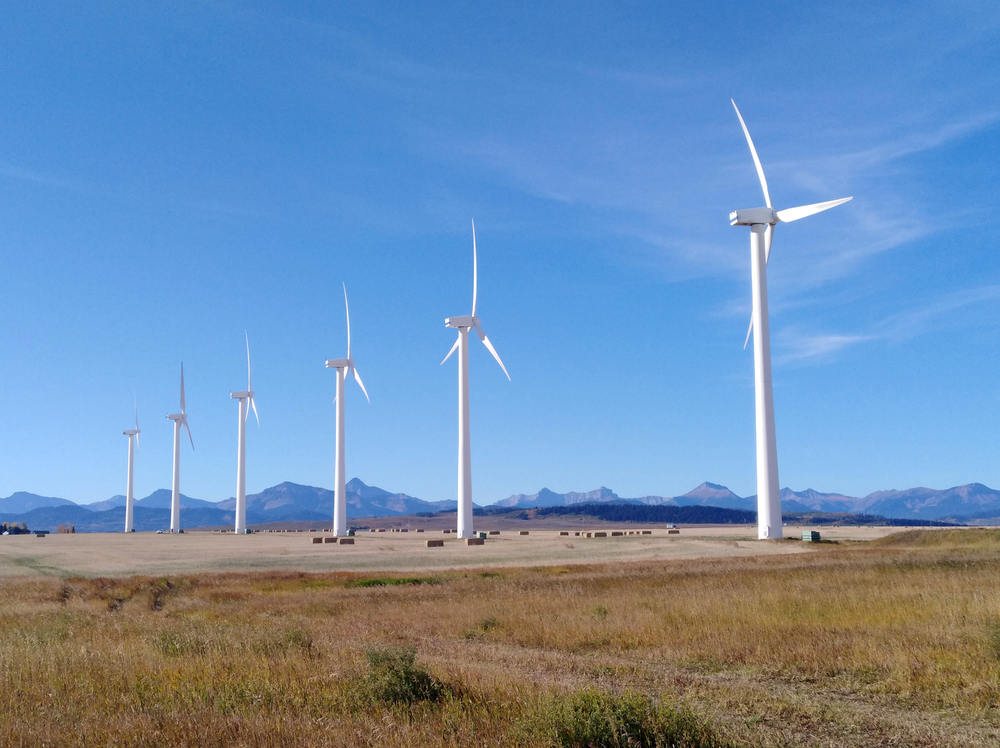
Electrical energy generation, either from hydro electric dams or wind generation turbines, must take into account many factors during the planning process. Terrain modeling is necessary to determine ground and vegetation interaction with wind patterns against wind turbines and flood modeling when creating a dam reservoir.
The preservation of fish and wildlife habitat are now recognized as important components of the earth’s ecosystem. Accurate mapping provides a clear examination of rivers and streams as well as vegetation cover and tree density. This allows the planners and engineers to maximize the installation of the energy generating infrastructure while minimizing the impact on the surrounding nature.
Elevation models provided by precise mapping allow for the efficient and cost effective design of access roads as well as hydro power lines and oil or gas pipeline corridors.

