ACQUISITION
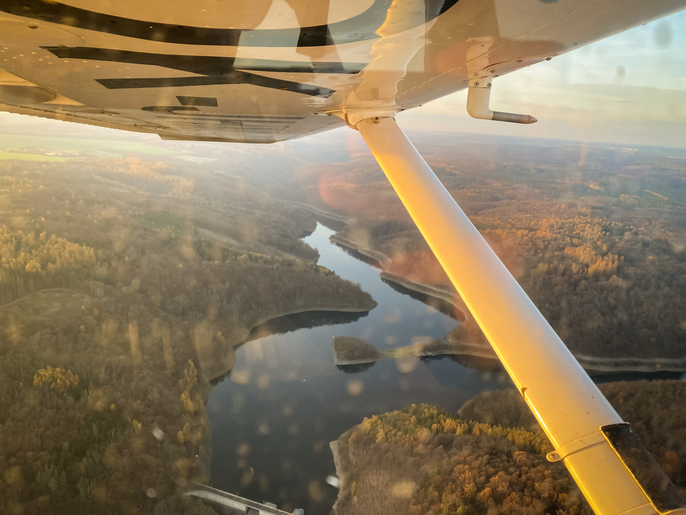
Airborne LiDAR
Comprehensive and Accurate Elevation Mapping
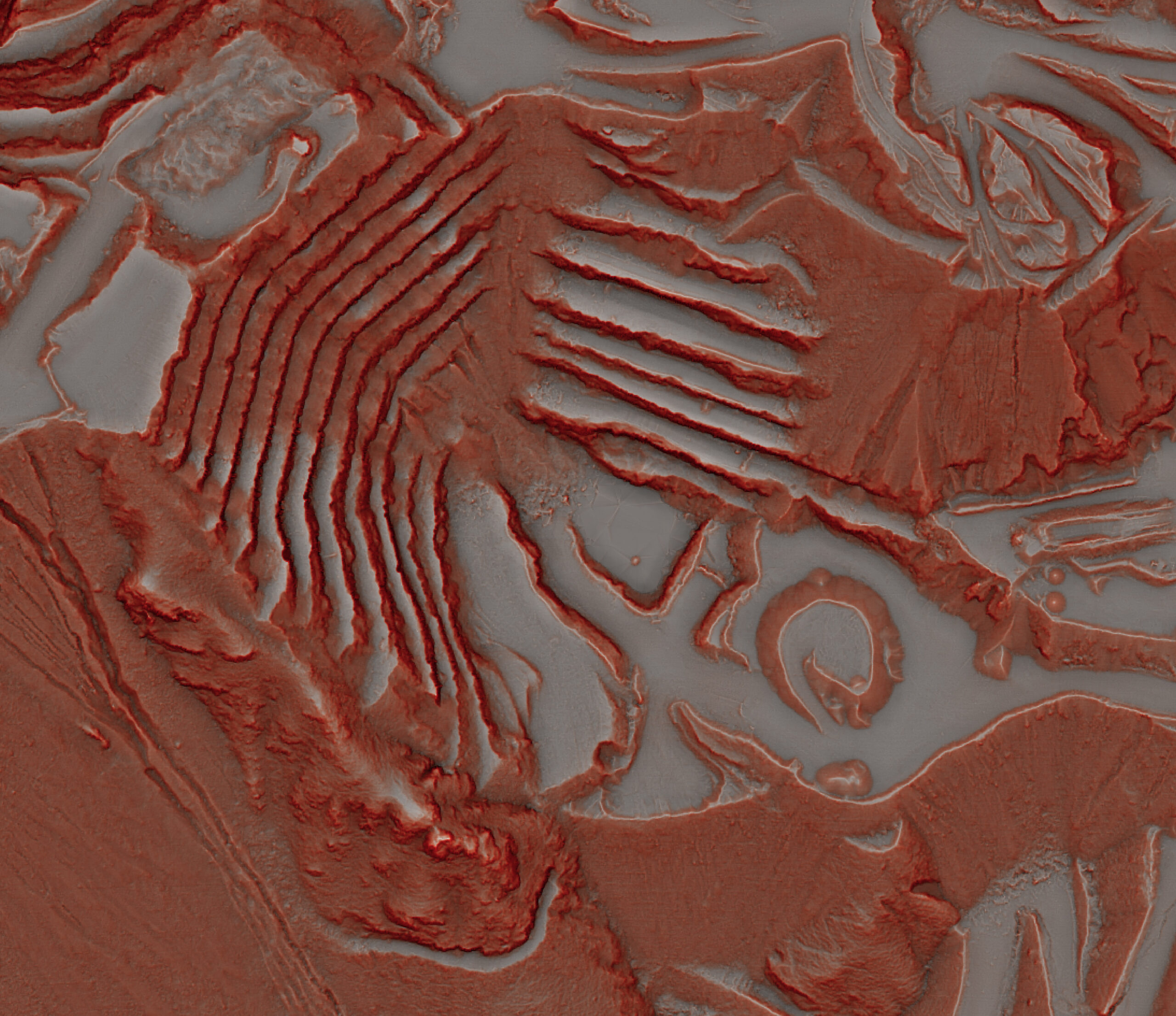
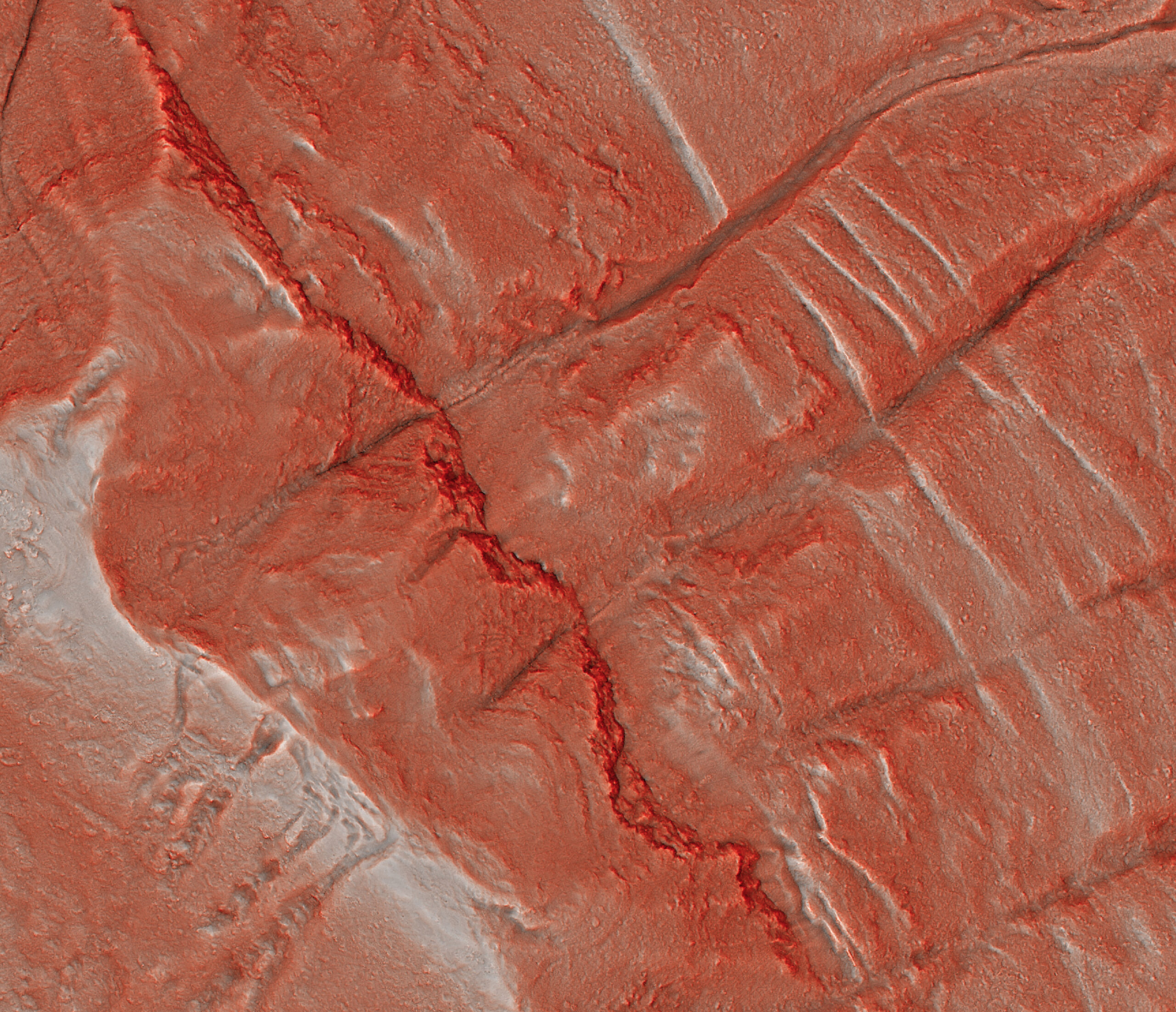
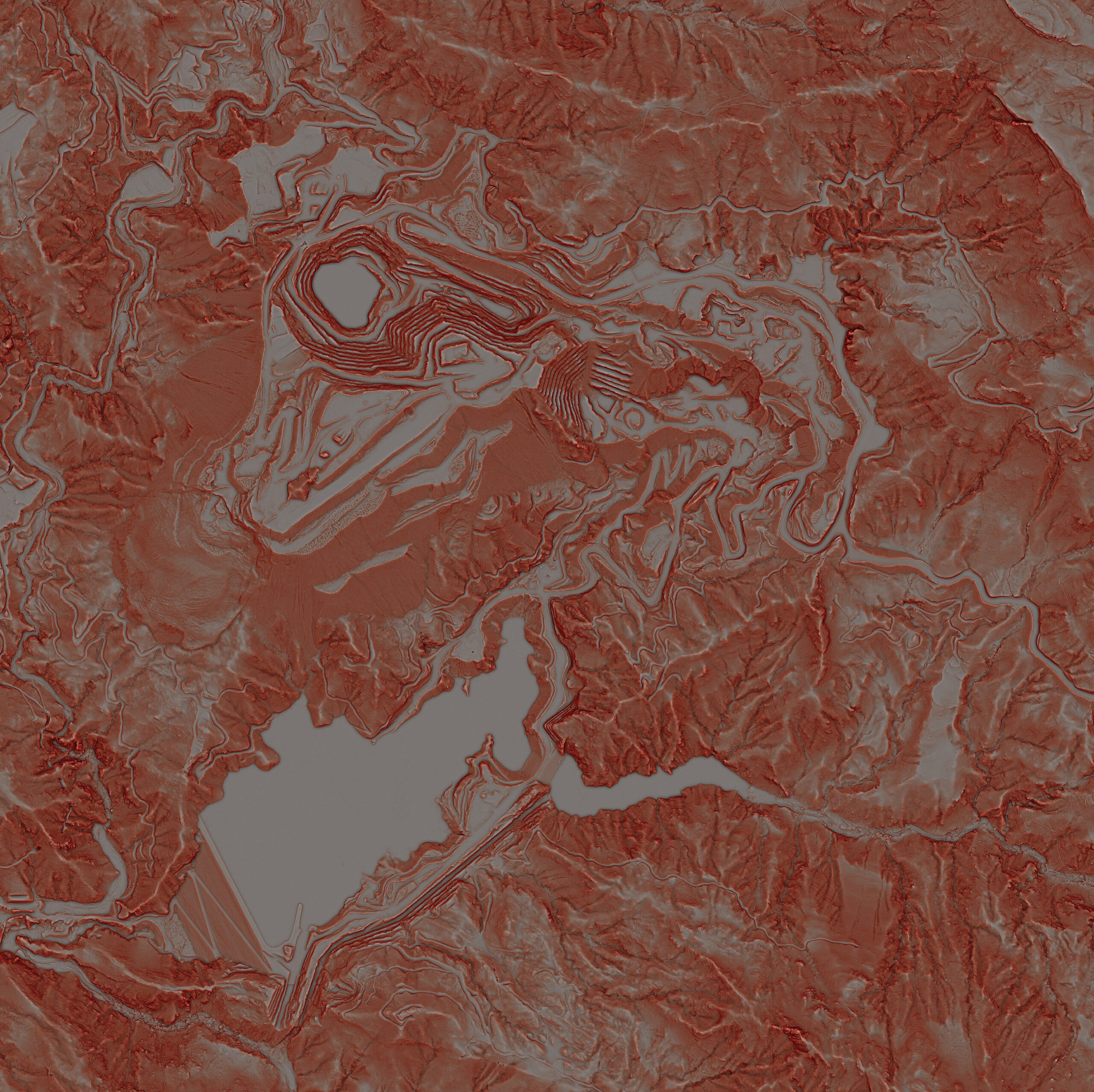
Eagle Mapping’s LiDAR services utilize advanced airborne sensors to deliver high-precision 3D elevation data for applications like Digital Terrain Models (DTMs) and Digital Surface Models (DSMs). Our cutting-edge LiDAR technology captures detailed data for both above-ground features and bare-earth surfaces, enabling analyses such as volume calculations, height assessments, and surface classification.
With in-house aircraft, sensors, and processing capabilities, Eagle Mapping ensures high-quality data acquisition and tailored solutions for industries such as city planning, mining exploration, flood analysis, and infrastructure management. Our LiDAR expertise supports projects in remote and large-scale areas, offering unmatched efficiency and accuracy.
Aerial Photography
At Eagle Mapping, we provide high-quality aerial photography and orthophotos to help industries make smarter, data-backed decisions. Our advanced cameras capture clear panchromatic, RGB, and Near-Infrared (NIR) images, perfect for all kinds of projects. We can acquire aerial photography from 2 cm to 50 cm resolution. Our orthophotos are distortion-free and true to scale, making them ideal for urban planning, engineering, and mapping. Whether it’s for agriculture, city planning, or environmental work, we’ve got you covered with tools that are efficient, versatile, and tailored to your project.
